Drone Assisted Deer and Wildlife Surveys/Population Assessments
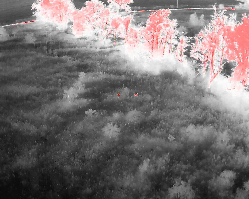
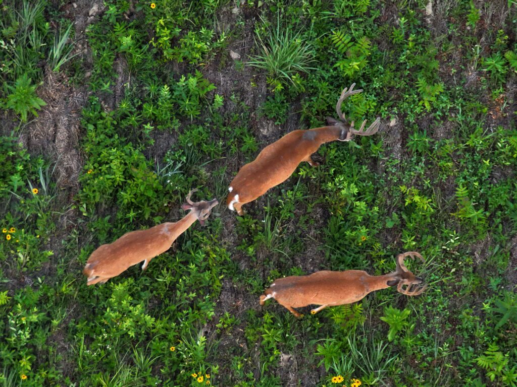
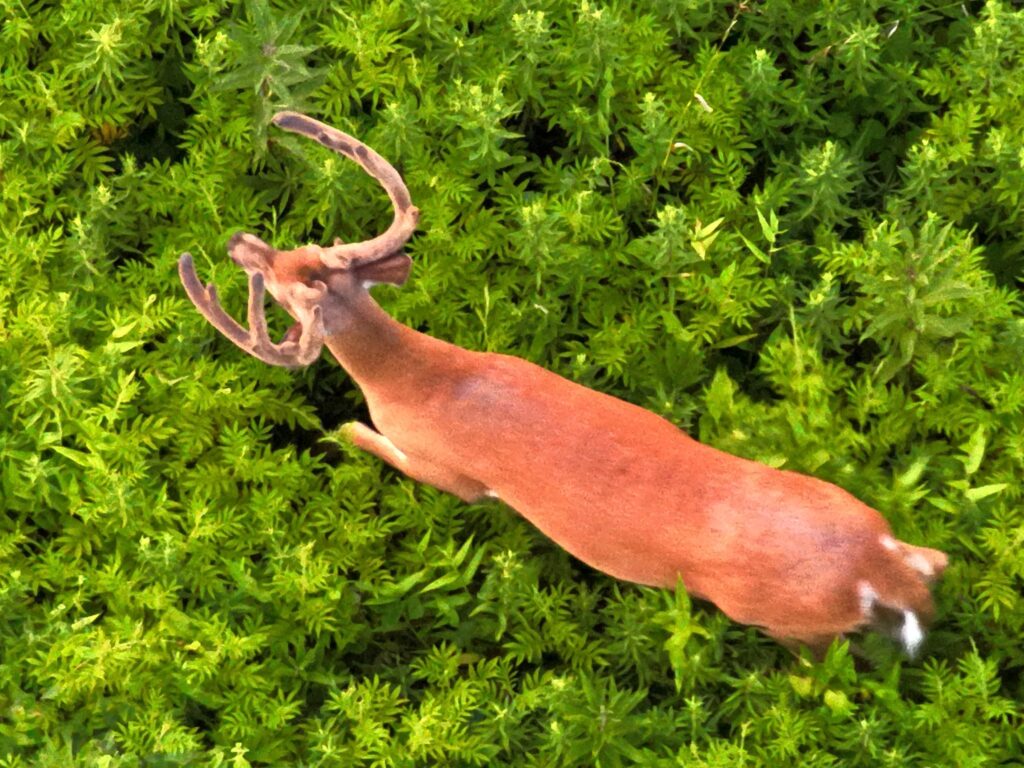
We utilize the cutting-edge advanced technology on our drones to complete population surveys and assessments of the deer and other wildlife that are utilizing a landowner’s property. We can easily locate deer with our drones thermal camera and can accurately identify deer with the drones 200x zoom camera. We use rotary drones, which have completely changed the way wildlife drone surveys are conducted. Traditional fixed wing drone wildlife surveys are now ancient history!
Deliverables:
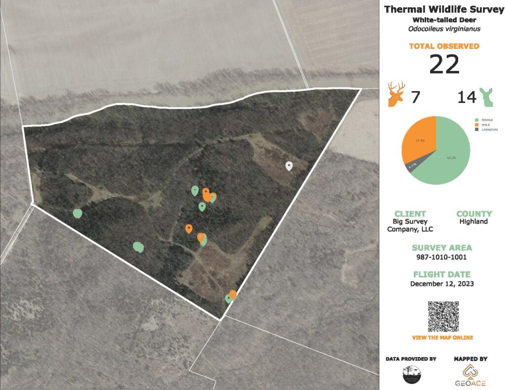
– PDF map custom created for client utilizing our survey data and GIS software
– Buck to doe ratio chart on map
– Location of all animals geo-referenced on map
– Pictures of individual animals located when practical
Since we have professional GIS staff working with us on our projects, our deliverables can be as simple or as complex as a client requests. Complete online data bases with interactive maps of survey data can be created for clients who wish to track data over time for more accurate comparative analysis.
We have a protocol that we have custom designed to insure the most accurate and precise survey data for our clients. This protocol comes from trials and errors, as well as from utilizing our knowledge of drones and wildlife behavior to guide us to the best results Our general methodology of survey techniques can be made available to any client upon request of a quote.
While deer surveys are the most common request that we receive from our clients, we can also assist in any other type of wildlife or natural resources surveys requested as well. We have surveyed for turkeys, waterfowl, upland game birds and even invasive woody species such as Bush Honeysuckle and Autumn Olive. To us the sky is the limit, and we will utilize our previous years of wildlife management to come up with unique and custom solutions to meet our client’s wildlife survey needs.
We are not a media company; we are a professional wildlife management and drone survey company. We value the professional relationships that we form with our clients and our client’s information will always remain strictly confidential and will never be shared for any purposes without express written permission.
NOTE: We will never utilize our drones to assist a hunter in “taking” a deer as this is illegal as well as unethical. Additionally we will not push the limits on any regulations regarding drones. We believe in the ethical use of drones for wildlife management and education purposes, as well recovering wounded deer. Drones should never be used to directly assist in aiding in the harvest of a game animal.
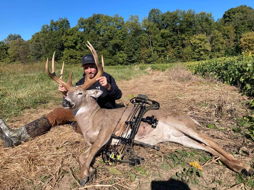
Drone Assisted Deer Carcass Recovery
The 2023-2024 Ohio deer season is in the books, and it was a wildly successful year for us helping folks locate their deer! We helped dozens of different hunters and were able to meet some great people. Quite honestly, we were not expecting the large demand that we experienced throughout the season, and the number of requests that we received to assist hunters in locating their dead and wounded deer became very overwhelming. There were many weeks when we were looking for 3 to 4 deer a day! While we greatly appreciated everyone’s support, we were left with very little time to focus on the main mission of our business, which is to conduct the most professional grade and acurate wildlife surveys available. For this reason, we will not be advertising for our drone assisted deer recovery during the 2024-2025 season. If we have time during our already quickly filling schedule we will post on our Facebook page of any availability for deer recoveries. We work with a very select number of other drone operators who complete drone assisted deer recovery and will gladly pass along their information if asked.
Coming Soon….
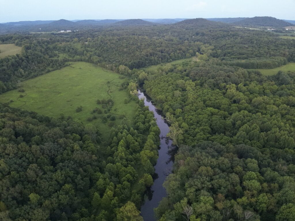
As we find time to grow our capacity we plan to offer a complete panel of other conservation and wildlife related drone based services for our clients. Among these services are high resolution aerial property photos and videos, drone spraying, drone seeding and more.