Conservation Drone Services, LLC
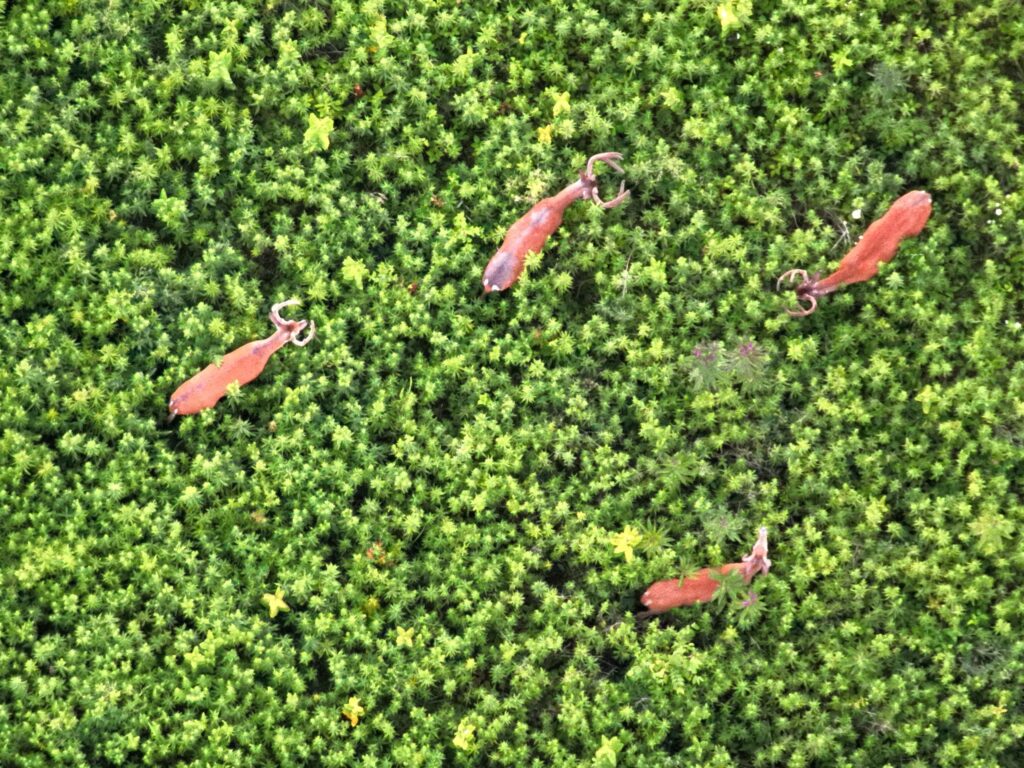
Professional Grade Thermal Drone Assisted Deer and Wildlife Surveys
At Conservation Drone Services, LLC our mission is to provide landowners with key wildlife population information to allow them to make better informed and more responsible choices about the wildlife management decisions on the properties that they own and manage

What We Do
Proudly located in Highland county Ohio – serving all of Ohio and the Midwestern United States where legal by law. We are proud to be one of the first in the business to bring a new era of professional grade drone wildlife surveys and data presentation and management available to the public.
Welcome to Conservation Drone Services, LLC, a locally owned and operated drone business specializing in professional grade thermal drone assisted deer and wildlife surveys. We utilize high end unmanned aerial vehicles (UAV’s) to conduct professional wildlife surveys custom fit to our client’s needs. For professional results, a survey alone is not enough to paint a complete picture of the wildlife populations utilizing a property, and this is why we also use professional GIS systems to process the data into a meaningful and easy to understand deliverable product to our clients. Our business is unique in the fact that we have years of prior professional work experience in the wildlife management sector, both public and private fields, and understand the complexities and needs of our clients. We built our business around the intentions to serve clients who demand only the best in professional grade drone wildlife surveys and data presentation/management. Our years of experience in the wildlife management field, combined with our ability to not only conduct wildlife surveys but also present them professionally to even the most demanding clients, sets us apart from any competition. By hiring Conservation Drone Services and our partnering GIS experts, you are hiring true professionals in the field of wildlife, ecology, GIS and natural resources management. Everyone on our crew is held to extremely high standards and client satisfaction and confidentiality is our top priority.
We are a professional operation and have taken every step possible to provide the best services to our clients. We are part 107 UAS remote pilot’s certified through the Federal Aviation Administration and are fully insured to fly as well as operate our business commercially. We did not cut corners when building our business. We own the highest-level equipment that is available for wildlife surveys to insure precision results when locating wildlife. Our primary targets are deer, but we commonly find animals as small as field mice, and sometimes even can spot Wolf Spiders with our drone from 200 feet in the air! We partner with a leader in geospatial technology to process all of our data, which is what allows us to deliver a professional product, suitable for anyone from a private landowner with 40 acres to large landowners with thousands of acres. Our niche is using professional grade drones specifically for wildlife and conservation practices. We truly believe that the advanced drone technology that we are utilizing is a game changer for the world of wildlife and natural resources management, and that the way we observe and subsequently learn about wildlife will forever be impacted in a positive manner when utilized by responsible professionals.
A thing is right when it tends to preserve the integrity, stability and beauty of the biotic community. It is wrong when it tends otherwise.– Aldo Leopold